Abercynon Signalling Centre
Introduction
The photograph on this page of Abercynon Signalling Centre by Jaggery as part of the Geograph project.
The Geograph project started in 2005 with the aim of publishing, organising and preserving representative images for every square kilometre of Great Britain, Ireland and the Isle of Man.

There are currently over 7.5m images from over 14,400 individuals and you can help contribute to the project by visiting https://www.geograph.org.uk
Abercynon Signalling Centre
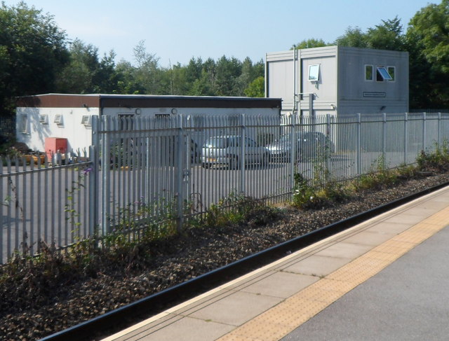
Image: © Jaggery Taken: 10 Aug 2012
Opened in 2008, the centre controls the railway signals and points in the area adjacent to Abercynon railway station, from where this view was taken. The signalling centre replaced a wood and brick signalbox http://www.geograph.org.uk/photo/3076359 located on a station platform.
Images are licensed for reuse under creativecommons.org/licenses/by-sa/2.0
Image Location
Latitude
51.642648
Longitude
-3.330945