Brownlow Fold Mills - 1
Introduction
The photograph on this page of Brownlow Fold Mills - 1 by Alan Murray-Rust as part of the Geograph project.
The Geograph project started in 2005 with the aim of publishing, organising and preserving representative images for every square kilometre of Great Britain, Ireland and the Isle of Man.

There are currently over 7.5m images from over 14,400 individuals and you can help contribute to the project by visiting https://www.geograph.org.uk
Brownlow Fold Mills - 1
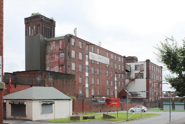
Image: © Alan Murray-Rust Taken: 25 Jul 2012
The nearer building was an extension to No.1 Mill, the rest of which, nearer the camera, was demolished in 1961. The further building is No.2 Mill, dating from 1905. The mills now house smaller industrial units.
Images are licensed for reuse under creativecommons.org/licenses/by-sa/2.0
Image Location
Latitude
53.589546
Longitude
-2.441238