Lytton Street, Brownlow Fold
Introduction
The photograph on this page of Lytton Street, Brownlow Fold by Alan Murray-Rust as part of the Geograph project.
The Geograph project started in 2005 with the aim of publishing, organising and preserving representative images for every square kilometre of Great Britain, Ireland and the Isle of Man.

There are currently over 7.5m images from over 14,400 individuals and you can help contribute to the project by visiting https://www.geograph.org.uk
Lytton Street, Brownlow Fold
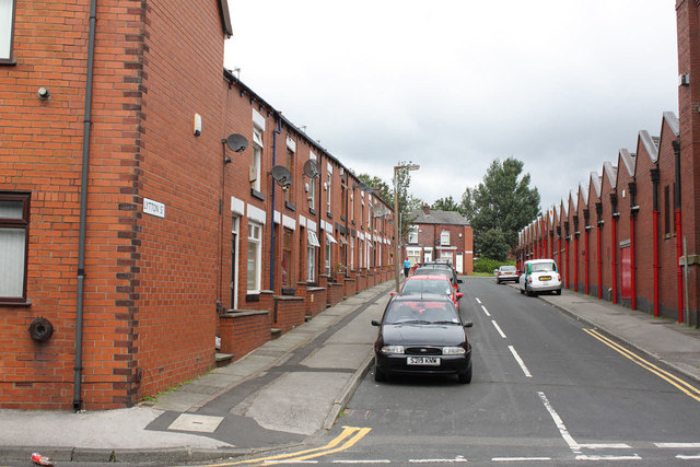
Image: © Alan Murray-Rust Taken: 25 Jul 2012
A reminder of the days when many people lived literally across the road from their place of work.
Images are licensed for reuse under creativecommons.org/licenses/by-sa/2.0
Image Location
Latitude
53.590532
Longitude
-2.441852