Hookshouse Lane Charlton Down
Introduction
The photograph on this page of Hookshouse Lane Charlton Down by Nigel Mykura as part of the Geograph project.
The Geograph project started in 2005 with the aim of publishing, organising and preserving representative images for every square kilometre of Great Britain, Ireland and the Isle of Man.

There are currently over 7.5m images from over 14,400 individuals and you can help contribute to the project by visiting https://www.geograph.org.uk
Hookshouse Lane Charlton Down
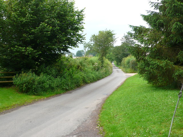
Image: © Nigel Mykura Taken: 8 Jul 2012
This small country lane runs past Charlton Down which used to be called Elmstree Farm before the Second World war. The Macmillan Way runs along the lane at this point.
Images are licensed for reuse under creativecommons.org/licenses/by-sa/2.0
Image Location
Latitude
51.625834
Longitude
-2.201473