Farmland near Nether Fordun
Introduction
The photograph on this page of Farmland near Nether Fordun by William Starkey as part of the Geograph project.
The Geograph project started in 2005 with the aim of publishing, organising and preserving representative images for every square kilometre of Great Britain, Ireland and the Isle of Man.

There are currently over 7.5m images from over 14,400 individuals and you can help contribute to the project by visiting https://www.geograph.org.uk
Farmland near Nether Fordun
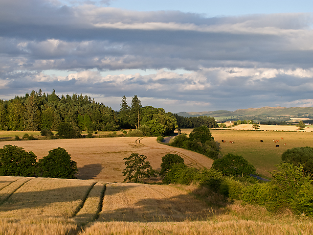
Image: © William Starkey Taken: 9 Aug 2012
Mixed farming in rural Perthshire, with barley under cultivation (left of image) and livestock grazing (right). A minor road leading to Aberuthven can just be seen winding through the fields, and in the distance the Ochil Hills beyond the village of Dunning.
Images are licensed for reuse under creativecommons.org/licenses/by-sa/2.0
Image Location
Latitude
56.322639
Longitude
-3.686596