Agricultural land near Nether Fordun
Introduction
The photograph on this page of Agricultural land near Nether Fordun by William Starkey as part of the Geograph project.
The Geograph project started in 2005 with the aim of publishing, organising and preserving representative images for every square kilometre of Great Britain, Ireland and the Isle of Man.

There are currently over 7.5m images from over 14,400 individuals and you can help contribute to the project by visiting https://www.geograph.org.uk
Agricultural land near Nether Fordun
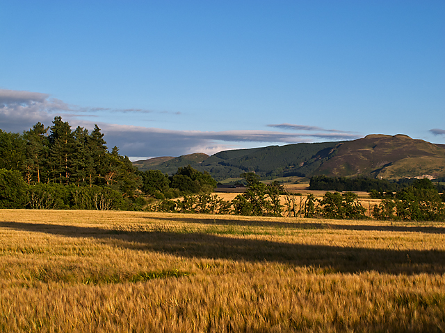
Image: © William Starkey Taken: 9 Aug 2012
Barley under cultivation near Nether Fordun. After a brief period of warm weather, crops begin to ripen, and fields change colour from the bright green of early summer. In the background, forestry plantations can be seen on the flank of Craig Rossie in the Ochil Hills.
Images are licensed for reuse under creativecommons.org/licenses/by-sa/2.0
Image Location
Latitude
56.325236
Longitude
-3.687196