Bwlch-y-groes: Moylgrove
Introduction
The photograph on this page of Bwlch-y-groes: Moylgrove by Dylan Moore as part of the Geograph project.
The Geograph project started in 2005 with the aim of publishing, organising and preserving representative images for every square kilometre of Great Britain, Ireland and the Isle of Man.

There are currently over 7.5m images from over 14,400 individuals and you can help contribute to the project by visiting https://www.geograph.org.uk
Bwlch-y-groes: Moylgrove
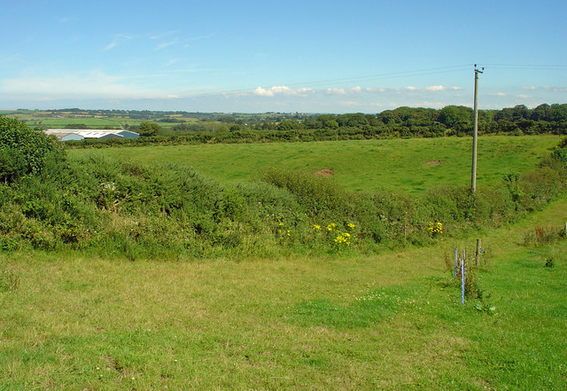
Image: © Dylan Moore Taken: 9 Aug 2012
This is another local example of a glacial melt-water channel. The poorly-consolidated glacial detritus that filled it has gradually settled down, leaving a sharp-edged dry valley. Curiously, like many other such features in the area, a parish boundary runs along it - in this case the boundary between Moylgrove and Bayvil. Ancient boundaries generally followed water courses.
Images are licensed for reuse under creativecommons.org/licenses/by-sa/2.0
Image Location
Latitude
52.052326
Longitude
-4.755107