Dunvant Bridge
Introduction
The photograph on this page of Dunvant Bridge by john bristow as part of the Geograph project.
The Geograph project started in 2005 with the aim of publishing, organising and preserving representative images for every square kilometre of Great Britain, Ireland and the Isle of Man.

There are currently over 7.5m images from over 14,400 individuals and you can help contribute to the project by visiting https://www.geograph.org.uk
Dunvant Bridge
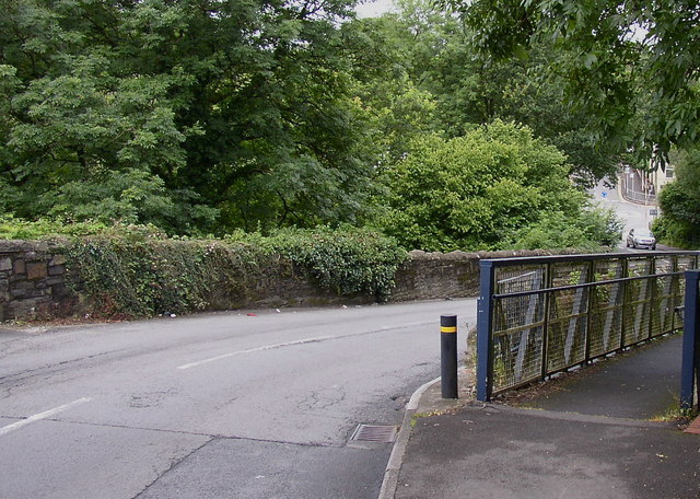
Image: © john bristow Taken: 8 Aug 2012
This bridge carries the B4296 road over the Clyne Trail, formally a railway closed in 1964. The bridge experiences fairly regular collisions due to its sinuous alignment and its location at the bottom of a steep hill.
Images are licensed for reuse under creativecommons.org/licenses/by-sa/2.0
Image Location
Latitude
51.62485
Longitude
-4.033276