Inter-tidal mud, Reagh Island near Comber (1)
Introduction
The photograph on this page of Inter-tidal mud, Reagh Island near Comber (1) by Albert Bridge as part of the Geograph project.
The Geograph project started in 2005 with the aim of publishing, organising and preserving representative images for every square kilometre of Great Britain, Ireland and the Isle of Man.

There are currently over 7.5m images from over 14,400 individuals and you can help contribute to the project by visiting https://www.geograph.org.uk
Inter-tidal mud, Reagh Island near Comber (1)
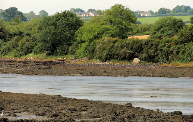
Image: © Albert Bridge Taken: 9 Aug 2012
Inter-tidal mud, on the shore of Strangford Lough, between the western side of Reagh Island and Rolly Island (background), to the south west of the causeway on the Ringneill Road Image Approximately 30 minutes before low water Killyleagh.
Images are licensed for reuse under creativecommons.org/licenses/by-sa/2.0
Image Location
Latitude
54.511842
Longitude
-5.6484