The Dock, Firle
Introduction
The photograph on this page of The Dock, Firle by Marathon as part of the Geograph project.
The Geograph project started in 2005 with the aim of publishing, organising and preserving representative images for every square kilometre of Great Britain, Ireland and the Isle of Man.

There are currently over 7.5m images from over 14,400 individuals and you can help contribute to the project by visiting https://www.geograph.org.uk
The Dock, Firle
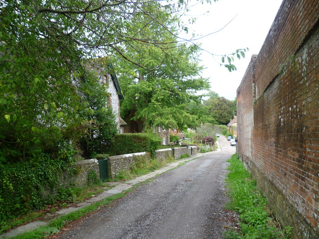
Image: © Marathon Taken: 8 Aug 2012
Firle is a picture postcard village at the foot of the scarp slope of the South Downs. The Dock is a lane running alongside the village shop, although why it is called 'The Dock' when there is no water around I do not know.
Images are licensed for reuse under creativecommons.org/licenses/by-sa/2.0
Image Location
Latitude
50.846355
Longitude
0.087693