Ennerdale Forest and the River Liza
Introduction
The photograph on this page of Ennerdale Forest and the River Liza by Gareth Jones as part of the Geograph project.
The Geograph project started in 2005 with the aim of publishing, organising and preserving representative images for every square kilometre of Great Britain, Ireland and the Isle of Man.

There are currently over 7.5m images from over 14,400 individuals and you can help contribute to the project by visiting https://www.geograph.org.uk
Ennerdale Forest and the River Liza
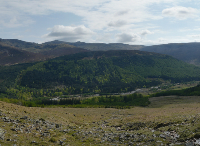
Image: © Gareth Jones Taken: 19 May 2012
Ennerdale Forest and the River Liza from the ascent of Red Pike. The ridge from Pillar through Stoat Fell and Haycock to Ennerdale Fell lies beyond.
Images are licensed for reuse under creativecommons.org/licenses/by-sa/2.0
Image Location
Latitude
54.512858
Longitude
-3.325397