Tumulus, Bayvil
Introduction
The photograph on this page of Tumulus, Bayvil by Dylan Moore as part of the Geograph project.
The Geograph project started in 2005 with the aim of publishing, organising and preserving representative images for every square kilometre of Great Britain, Ireland and the Isle of Man.

There are currently over 7.5m images from over 14,400 individuals and you can help contribute to the project by visiting https://www.geograph.org.uk
Tumulus, Bayvil
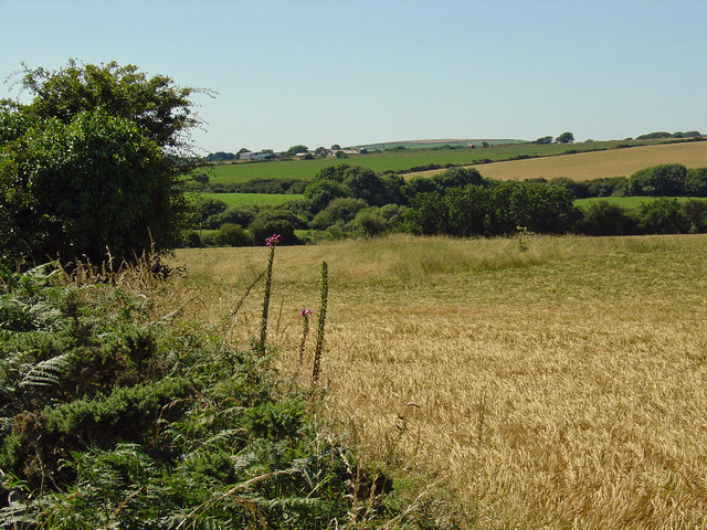
Image: © Dylan Moore Taken: 9 Aug 2012
All that is visible is the rough tussock of grass in mid view.
Images are licensed for reuse under creativecommons.org/licenses/by-sa/2.0
Image Location
Latitude
52.045655
Longitude
-4.759655