Farmland near to Mullacott Cross
Introduction
The photograph on this page of Farmland near to Mullacott Cross by Robin Drayton as part of the Geograph project.
The Geograph project started in 2005 with the aim of publishing, organising and preserving representative images for every square kilometre of Great Britain, Ireland and the Isle of Man.

There are currently over 7.5m images from over 14,400 individuals and you can help contribute to the project by visiting https://www.geograph.org.uk
Farmland near to Mullacott Cross
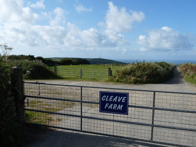
Image: © Robin Drayton Taken: 28 Jul 2012
North of the A3123 with the Bristol Channel and the television mast at Slade Image in the distance.
Images are licensed for reuse under creativecommons.org/licenses/by-sa/2.0
Image Location
Latitude
51.180279
Longitude
-4.127255