Road at Drumnakilly
Introduction
The photograph on this page of Road at Drumnakilly by Kenneth Allen as part of the Geograph project.
The Geograph project started in 2005 with the aim of publishing, organising and preserving representative images for every square kilometre of Great Britain, Ireland and the Isle of Man.

There are currently over 7.5m images from over 14,400 individuals and you can help contribute to the project by visiting https://www.geograph.org.uk
Road at Drumnakilly
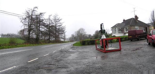
Image: © Kenneth Allen Taken: 8 Jan 2007
The road heads west towards Omagh. The fuel pump on the right got knocked down so often that the owner erected a metal guard round it for protection.
Images are licensed for reuse under creativecommons.org/licenses/by-sa/2.0
Image Location
Latitude
54.604117
Longitude
-7.173504