End of the pavement in the SE of Newbridge
Introduction
The photograph on this page of End of the pavement in the SE of Newbridge by Jaggery as part of the Geograph project.
The Geograph project started in 2005 with the aim of publishing, organising and preserving representative images for every square kilometre of Great Britain, Ireland and the Isle of Man.

There are currently over 7.5m images from over 14,400 individuals and you can help contribute to the project by visiting https://www.geograph.org.uk
End of the pavement in the SE of Newbridge
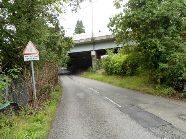
Image: © Jaggery Taken: 8 Aug 2012
Opposite the SE end http://www.geograph.org.uk/photo/3073660 of Beynon Street, a sign alongside Celynen Road shows that there is no footway ahead for ¾ mile. The flyover carries the A472.
Images are licensed for reuse under creativecommons.org/licenses/by-sa/2.0
Image Location
Latitude
51.661707
Longitude
-3.143548