Alt Park Endmoor Road
Introduction
The photograph on this page of Alt Park Endmoor Road by Sue Adair as part of the Geograph project.
The Geograph project started in 2005 with the aim of publishing, organising and preserving representative images for every square kilometre of Great Britain, Ireland and the Isle of Man.

There are currently over 7.5m images from over 14,400 individuals and you can help contribute to the project by visiting https://www.geograph.org.uk
Alt Park Endmoor Road
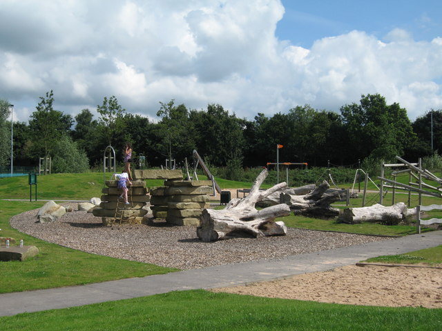
Image: © Sue Adair Taken: 8 Aug 2012
Alt Park in Endmoor Road adjacent to the Huyton Resource Centre, once the worst rated park in the borough has recently received a facelift with the addition of a children's playground, natural playground and wildflower meadow. It hosted a family fun day in the summer holidays with fairground rides and attractions including a bouncy castle, rodeo bull, face painting and stalls.
Images are licensed for reuse under creativecommons.org/licenses/by-sa/2.0
Image Location
Latitude
53.422843
Longitude
-2.850472