The countryside around Rakesole Farm
Introduction
The photograph on this page of The countryside around Rakesole Farm by John Baker as part of the Geograph project.
The Geograph project started in 2005 with the aim of publishing, organising and preserving representative images for every square kilometre of Great Britain, Ireland and the Isle of Man.

There are currently over 7.5m images from over 14,400 individuals and you can help contribute to the project by visiting https://www.geograph.org.uk
The countryside around Rakesole Farm
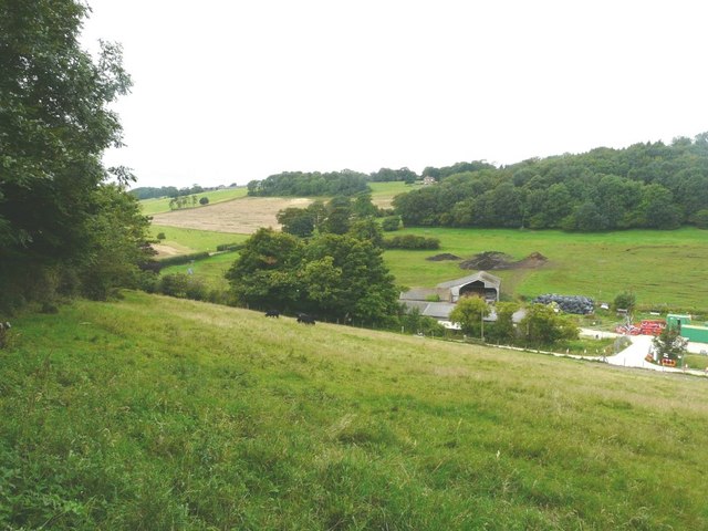
Image: © John Baker Taken: 8 Aug 2012
Only the outbuildings are visible but perched on the hillside above is the house that comprises Golden Hill Shaw. Both set in The North Downs ANOB (Area of Outstanding Natural Beauty).
Images are licensed for reuse under creativecommons.org/licenses/by-sa/2.0
Image Location
Latitude
51.154503
Longitude
1.146872