Westland Street from Derry's Walls
Introduction
The photograph on this page of Westland Street from Derry's Walls by John O'Kane as part of the Geograph project.
The Geograph project started in 2005 with the aim of publishing, organising and preserving representative images for every square kilometre of Great Britain, Ireland and the Isle of Man.

There are currently over 7.5m images from over 14,400 individuals and you can help contribute to the project by visiting https://www.geograph.org.uk
Westland Street from Derry's Walls
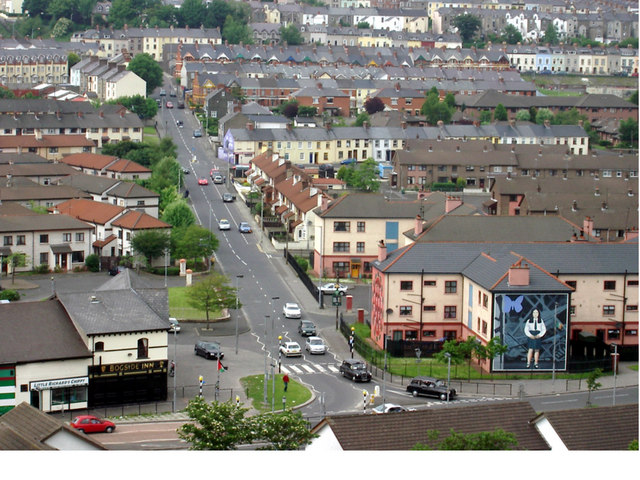
Image: © John O'Kane Taken: Unknown
Image shows street at the heart of the Bogside. Lower foreground shows the Bogside Inn and on the right is one of the iconic murals typical of the area.
Images are licensed for reuse under creativecommons.org/licenses/by-sa/2.0
Image Location


Leaflet Map data © OpenStreetMap
Latitude
54.994176
Longitude
-7.336743