15 High Street
Introduction
The photograph on this page of 15 High Street by Alan Murray-Rust as part of the Geograph project.
The Geograph project started in 2005 with the aim of publishing, organising and preserving representative images for every square kilometre of Great Britain, Ireland and the Isle of Man.

There are currently over 7.5m images from over 14,400 individuals and you can help contribute to the project by visiting https://www.geograph.org.uk
15 High Street
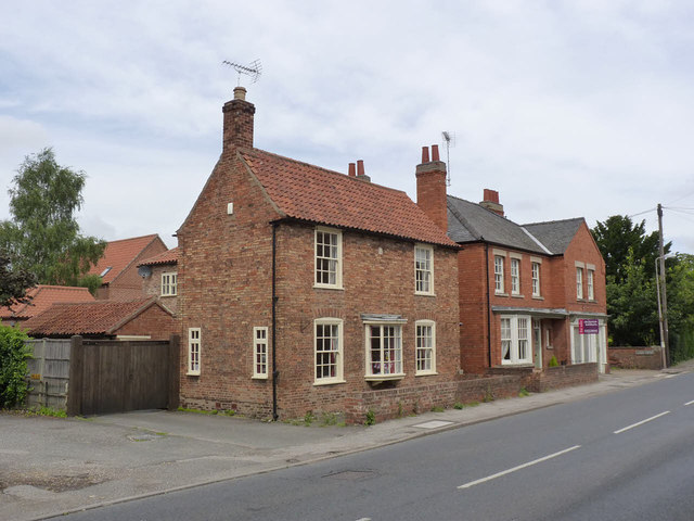
Image: © Alan Murray-Rust Taken: 5 Aug 2012
One of the few older buildings in the village which can be accurately dated - the small stone in the centre of the frontage carries the date 1797 http://www.geograph.org.uk/photo/3072640. The central bay window is of 20th century date and almost certainly has replaced a central front door. Listed Grade II.
Images are licensed for reuse under creativecommons.org/licenses/by-sa/2.0
Image Location
Latitude
53.143569
Longitude
-0.761323