Lower Green.
Introduction
The photograph on this page of Lower Green. by Robin Hall as part of the Geograph project.
The Geograph project started in 2005 with the aim of publishing, organising and preserving representative images for every square kilometre of Great Britain, Ireland and the Isle of Man.

There are currently over 7.5m images from over 14,400 individuals and you can help contribute to the project by visiting https://www.geograph.org.uk
Lower Green.
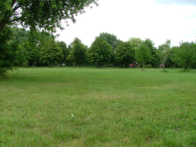
Image: © Robin Hall Taken: 26 Jul 2005
This photograph is taken from Snailswell Lane (love the name). There is some housing just behind me as I take the photo and a stable behind the trees. There are often horses being ridden in this area. There is a pond plant nursery behind the stables.
Images are licensed for reuse under creativecommons.org/licenses/by-sa/2.0
Image Location
Latitude
51.978337
Longitude
-0.276097