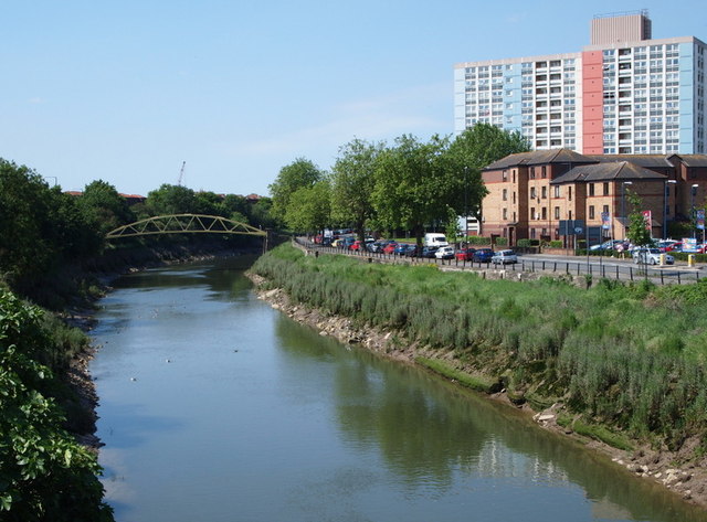
Temple Meads Area - BS2
Introduction
The photograph on this page of Temple Meads Area - BS2 by David Hallam-Jones as part of the Geograph project.
The Geograph project started in 2005 with the aim of publishing, organising and preserving representative images for every square kilometre of Great Britain, Ireland and the Isle of Man.
There are currently over 7.5m images from over 14,400 individuals and you can help contribute to the project by visiting https://www.geograph.org.uk

Image: © David Hallam-Jones Taken: 28 Jul 2012
Langton Street Bridge and the New Cut (River Avon). This photograph is taken from the Eastern part of Bath Bridge, Bath Bridge consisting of two parallel bridges that form part of a roundabout at the point where the Clarence Road/A370 (seen here) joins traffic using Bath Road (the A4). The Langton Street footbridge was installed here in 1883 having previously been used as a temporary bridge at Bedminster whilst a new one was built there. When the time came for it to be repositioned here two barges were positioned underneath it and, as the tide in the New Cut rose, these lifted it clear of its temporary base. The barges were then towed upstream and repositioned so that the bridge settled into its new position as the tide ebbed.

