Nether Edge Bowling Club - Club House and Bowling Green
Introduction
The photograph on this page of Nether Edge Bowling Club - Club House and Bowling Green by Terry Robinson as part of the Geograph project.
The Geograph project started in 2005 with the aim of publishing, organising and preserving representative images for every square kilometre of Great Britain, Ireland and the Isle of Man.

There are currently over 7.5m images from over 14,400 individuals and you can help contribute to the project by visiting https://www.geograph.org.uk
Nether Edge Bowling Club - Club House and Bowling Green
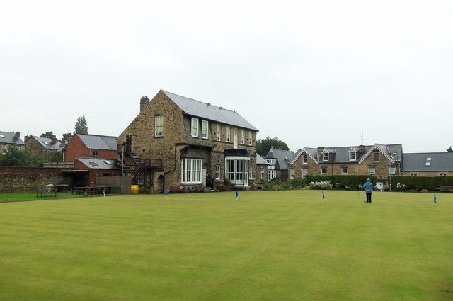
Image: © Terry Robinson Taken: 31 Jul 2012
Houses on Nether Edge Road can be seen in the background. The flags and rope separating the huge green into two halves can be seen. For more information about the club, see ... Image For other views, see ... Image Image Image
Images are licensed for reuse under creativecommons.org/licenses/by-sa/2.0
Image Location
Latitude
53.359251
Longitude
-1.488494