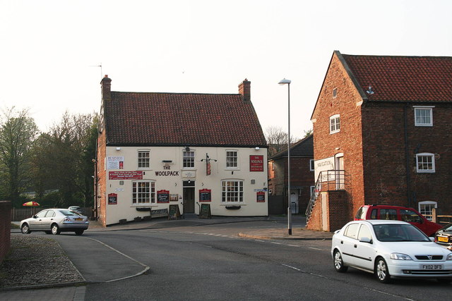
Woolpack, Louth Riverhead
Introduction
The photograph on this page of Woolpack, Louth Riverhead by Chris as part of the Geograph project.
The Geograph project started in 2005 with the aim of publishing, organising and preserving representative images for every square kilometre of Great Britain, Ireland and the Isle of Man.
There are currently over 7.5m images from over 14,400 individuals and you can help contribute to the project by visiting https://www.geograph.org.uk

Image: © Chris Taken: 21 Apr 2011
One of the Riverhead's two public houses from the days of canal traffic. It was built shortly after the canal opened in 1770. It had its own brewery, and stables for the farm horses which brought corn and wool to the Riverhead and took away cottonseed, linseed and groceries. It is still a thriving pub of great character. Close behind the Woolpack was the other pub, The Ship, which has now been demolished.

