Path from Buckles Close to Church Piece
Introduction
The photograph on this page of Path from Buckles Close to Church Piece by Terry Jacombs as part of the Geograph project.
The Geograph project started in 2005 with the aim of publishing, organising and preserving representative images for every square kilometre of Great Britain, Ireland and the Isle of Man.

There are currently over 7.5m images from over 14,400 individuals and you can help contribute to the project by visiting https://www.geograph.org.uk
Path from Buckles Close to Church Piece
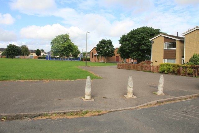
Image: © Terry Jacombs Taken: 2 Aug 2012
This path, Buckles Close and the Beeches provide a quieter route to the senior and senior schools, rather than the narrow road running through Charlton Kings village.
Images are licensed for reuse under creativecommons.org/licenses/by-sa/2.0
Image Location
Latitude
51.881342
Longitude
-2.050364