From the start of Hollinhall access road
Introduction
The photograph on this page of From the start of Hollinhall access road by Peter Turner as part of the Geograph project.
The Geograph project started in 2005 with the aim of publishing, organising and preserving representative images for every square kilometre of Great Britain, Ireland and the Isle of Man.

There are currently over 7.5m images from over 14,400 individuals and you can help contribute to the project by visiting https://www.geograph.org.uk
From the start of Hollinhall access road
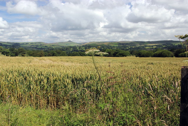
Image: © Peter Turner Taken: 4 Aug 2012
The start of the cornfields as well (upland arable as a departure from dairy farming?). The shapely hill on the skyline is Shutlingsloe.
Images are licensed for reuse under creativecommons.org/licenses/by-sa/2.0
Image Location
Latitude
53.163117
Longitude
-2.059637