Footpath junction Hollinhall
Introduction
The photograph on this page of Footpath junction Hollinhall by Peter Turner as part of the Geograph project.
The Geograph project started in 2005 with the aim of publishing, organising and preserving representative images for every square kilometre of Great Britain, Ireland and the Isle of Man.

There are currently over 7.5m images from over 14,400 individuals and you can help contribute to the project by visiting https://www.geograph.org.uk
Footpath junction Hollinhall
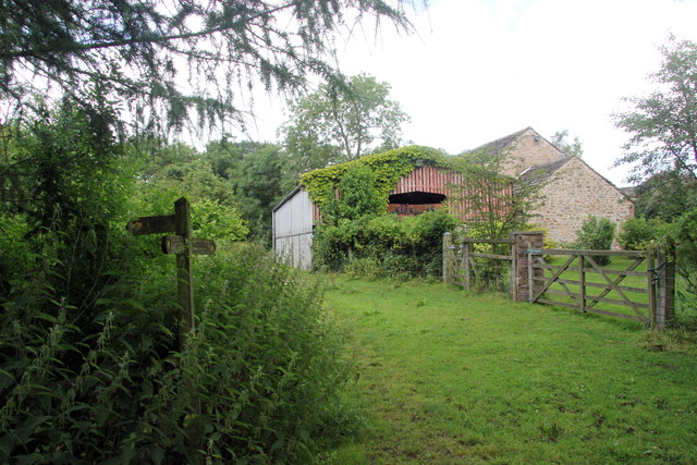
Image: © Peter Turner Taken: 4 Aug 2012
Rushton to the left, Danebridge ahead, and Swythamley behind us (but hardly a direct route).
Images are licensed for reuse under creativecommons.org/licenses/by-sa/2.0
Image Location
Latitude
53.170755
Longitude
-2.065781