The Woolpack public house in Shawbirch
Introduction
The photograph on this page of The Woolpack public house in Shawbirch by Richard Law as part of the Geograph project.
The Geograph project started in 2005 with the aim of publishing, organising and preserving representative images for every square kilometre of Great Britain, Ireland and the Isle of Man.

There are currently over 7.5m images from over 14,400 individuals and you can help contribute to the project by visiting https://www.geograph.org.uk
The Woolpack public house in Shawbirch
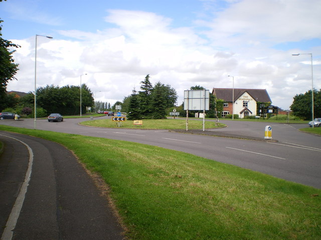
Image: © Richard Law Taken: 4 Aug 2012
Built at the same time as the housing developments at Shawbirch, the Woolpack is the 'local' for this part of Telford.
Images are licensed for reuse under creativecommons.org/licenses/by-sa/2.0
Image Location
Latitude
52.717341
Longitude
-2.529346