Sopwell Mill redevelopment.
Introduction
The photograph on this page of Sopwell Mill redevelopment. by Jack Hill as part of the Geograph project.
The Geograph project started in 2005 with the aim of publishing, organising and preserving representative images for every square kilometre of Great Britain, Ireland and the Isle of Man.

There are currently over 7.5m images from over 14,400 individuals and you can help contribute to the project by visiting https://www.geograph.org.uk
Sopwell Mill redevelopment.
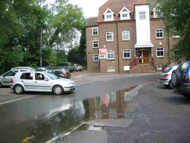
Image: © Jack Hill Taken: 10 Jul 2005
The mill has been refurbished as offices but the turn to the right leads to a narrow bridge and a blind corner. Used by many commuters so rather tricky to negotiate.
Images are licensed for reuse under creativecommons.org/licenses/by-sa/2.0
Image Location
Latitude
51.736318
Longitude
-0.328771