Boars Head & Footpath
Introduction
The photograph on this page of Boars Head & Footpath by Glyn Baker as part of the Geograph project.
The Geograph project started in 2005 with the aim of publishing, organising and preserving representative images for every square kilometre of Great Britain, Ireland and the Isle of Man.

There are currently over 7.5m images from over 14,400 individuals and you can help contribute to the project by visiting https://www.geograph.org.uk
Boars Head & Footpath
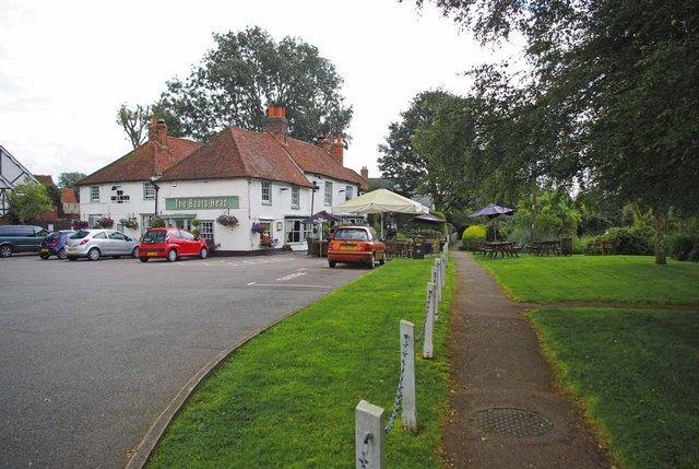
Image: © Glyn Baker Taken: 5 Aug 2012
The footpath runs between the pub and the pond and leads to Heron Court Farm
Images are licensed for reuse under creativecommons.org/licenses/by-sa/2.0
Image Location
Latitude
51.594769
Longitude
0.353718