River Lea Navigation at Broxbourne
Introduction
The photograph on this page of River Lea Navigation at Broxbourne by Derek Harper as part of the Geograph project.
The Geograph project started in 2005 with the aim of publishing, organising and preserving representative images for every square kilometre of Great Britain, Ireland and the Isle of Man.

There are currently over 7.5m images from over 14,400 individuals and you can help contribute to the project by visiting https://www.geograph.org.uk
River Lea Navigation at Broxbourne
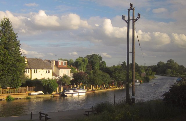
Image: © Derek Harper Taken: 2 Aug 2012
A view from the railway line between Broxbourne and Cheshunt. Along the reach on the right, the waterway has been joined by the River Lea (or Lee) itself; the junction is out of sight less than 70 metres from the camera, and Broxbourne Bridge is even closer to the left. It carries Old Nazeing Road, which the riverside houses back onto.
Images are licensed for reuse under creativecommons.org/licenses/by-sa/2.0
Image Location


Leaflet Map data © OpenStreetMap
Latitude
51.742199
Longitude
-0.013365