Cattle grid on the edge of open moor
Introduction
The photograph on this page of Cattle grid on the edge of open moor by David Smith as part of the Geograph project.
The Geograph project started in 2005 with the aim of publishing, organising and preserving representative images for every square kilometre of Great Britain, Ireland and the Isle of Man.

There are currently over 7.5m images from over 14,400 individuals and you can help contribute to the project by visiting https://www.geograph.org.uk
Cattle grid on the edge of open moor
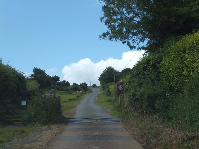
Image: © David Smith Taken: 3 Aug 2012
This road leads to Fernworthy Reservoir. Here it enters open moorland from the farmland that surrounds Chagford
Images are licensed for reuse under creativecommons.org/licenses/by-sa/2.0
Image Location
Latitude
50.64925
Longitude
-3.867638