The valley of the River Stowe, Southam
Introduction
The photograph on this page of The valley of the River Stowe, Southam by John Brightley as part of the Geograph project.
The Geograph project started in 2005 with the aim of publishing, organising and preserving representative images for every square kilometre of Great Britain, Ireland and the Isle of Man.

There are currently over 7.5m images from over 14,400 individuals and you can help contribute to the project by visiting https://www.geograph.org.uk
The valley of the River Stowe, Southam
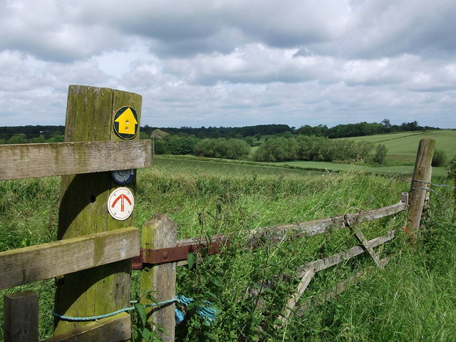
Image: © John Brightley Taken: 23 Jun 2012
Looking down into the valley from the footpath which leads to Thorpe Bridge. The signage on the fence post is for the Holy Well Walk (bottom) and the Lias Rings Walks (middle).
Images are licensed for reuse under creativecommons.org/licenses/by-sa/2.0
Image Location


Leaflet Map data © OpenStreetMap
Latitude
52.251507
Longitude
-1.401129