Flats in former Caersalem chapel, Ton Pentre
Introduction
The photograph on this page of Flats in former Caersalem chapel, Ton Pentre by Jaggery as part of the Geograph project.
The Geograph project started in 2005 with the aim of publishing, organising and preserving representative images for every square kilometre of Great Britain, Ireland and the Isle of Man.

There are currently over 7.5m images from over 14,400 individuals and you can help contribute to the project by visiting https://www.geograph.org.uk
Flats in former Caersalem chapel, Ton Pentre
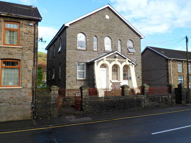
Image: © Jaggery Taken: 3 Nov 2011
Located at the western end of Gelli Road, near Ton Pentre library. http://www.geograph.org.uk/photo/2678362 A tablet in Welsh on the wall above the upper floor windows shows that Caersalem (Jerusalem) Wesleyan Welsh (language) chapel was built here in 1887. After the chapel closed in the 1990s, the building was converted to flats.
Images are licensed for reuse under creativecommons.org/licenses/by-sa/2.0
Image Location
Latitude
51.645161
Longitude
-3.488558