Disused Railway Viaduct Penruddock
Introduction
The photograph on this page of Disused Railway Viaduct Penruddock by Tom Howard as part of the Geograph project.
The Geograph project started in 2005 with the aim of publishing, organising and preserving representative images for every square kilometre of Great Britain, Ireland and the Isle of Man.

There are currently over 7.5m images from over 14,400 individuals and you can help contribute to the project by visiting https://www.geograph.org.uk
Disused Railway Viaduct Penruddock
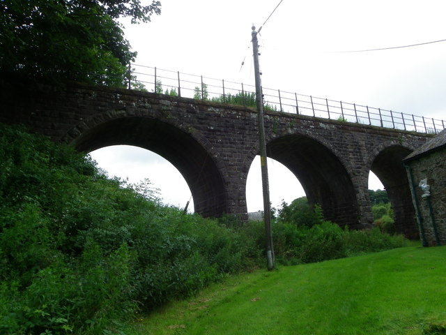
Image: © Tom Howard Taken: 1 Aug 2012
This redundant bridge served the now long dismantled railway which connected Penrith via Keswick with Cockermouth and beyond. The picture was taken from the well kept green grass area of the public footpath which leads on under the old viaduct.
Images are licensed for reuse under creativecommons.org/licenses/by-sa/2.0
Image Location
Latitude
54.643592
Longitude
-2.886458