The Clogh River near Glarryford Cross
Introduction
The photograph on this page of The Clogh River near Glarryford Cross by Albert Bridge as part of the Geograph project.
The Geograph project started in 2005 with the aim of publishing, organising and preserving representative images for every square kilometre of Great Britain, Ireland and the Isle of Man.

There are currently over 7.5m images from over 14,400 individuals and you can help contribute to the project by visiting https://www.geograph.org.uk
The Clogh River near Glarryford Cross
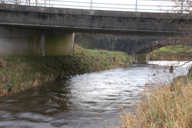
Image: © Albert Bridge Taken: 7 Jan 2007
The Clogh River is a short river which merges with the Killagan Water Image to form the River Main. This is the river (looking upstream), as it flows under the separated carriageways of the Belfast-Coleraine road, to the south of Glarryford Cross Image, north of Ballymena.
Images are licensed for reuse under creativecommons.org/licenses/by-sa/2.0
Image Location
Latitude
54.9487
Longitude
-6.338636