Happy Land, Ashton Keynes, Wilts
Introduction
The photograph on this page of Happy Land, Ashton Keynes, Wilts by Rick Hall as part of the Geograph project.
The Geograph project started in 2005 with the aim of publishing, organising and preserving representative images for every square kilometre of Great Britain, Ireland and the Isle of Man.

There are currently over 7.5m images from over 14,400 individuals and you can help contribute to the project by visiting https://www.geograph.org.uk
Happy Land, Ashton Keynes, Wilts
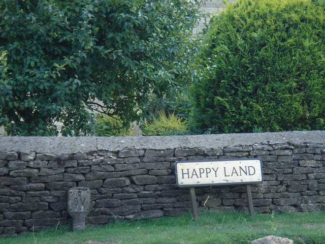
Image: © Rick Hall Taken: 10 Aug 2006
There is a Happy Land far far away... this was an irresistible image on the bike ride along the Thames pathway
Images are licensed for reuse under creativecommons.org/licenses/by-sa/2.0
Image Location


Leaflet Map data © OpenStreetMap
Latitude
51.642081
Longitude
-1.93102