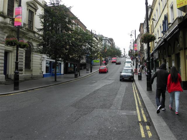
Shipquay Street, Derry / Londonderry
Introduction
The photograph on this page of Shipquay Street, Derry / Londonderry by Kenneth Allen as part of the Geograph project.
The Geograph project started in 2005 with the aim of publishing, organising and preserving representative images for every square kilometre of Great Britain, Ireland and the Isle of Man.
There are currently over 7.5m images from over 14,400 individuals and you can help contribute to the project by visiting https://www.geograph.org.uk

Image: © Kenneth Allen Taken: 1 Aug 2012
I remember when I was a student at Londonderry Technical College as it was then known, we used to drive up to here and park the car on the slope. The yellow lines wouldn't have been here then and we parked the car with the front wheels angled in towards the kerb, in case the brakes failed. There were no parking meters on the streets. If it was a good day we would have walked up from Strand Road and we went to a Chinese Restaurant located at the bottom of the hill to the right. You could have got a three course meal for 7s-6d and a cup of tea for 6d. I still remember the thick soup for starters with cornflour added to it. Main courses could have been a stir fry or a curry to what level of hotness you dared to eat and one of the sweets was banana fritter. It was jokingly suggested that the Chinese went hunting for pigeons to stick into their meat dishes. This was from 1969 onwards when my part-time course lasted for four years and latterly the troubles were starting. Many a night we had to drive home by an alternative route to avoid a trouble spot and were frequently stopped by the security forces.

