Aberdeen Urban Scene
Introduction
The photograph on this page of Aberdeen Urban Scene by Bill Harrison as part of the Geograph project.
The Geograph project started in 2005 with the aim of publishing, organising and preserving representative images for every square kilometre of Great Britain, Ireland and the Isle of Man.

There are currently over 7.5m images from over 14,400 individuals and you can help contribute to the project by visiting https://www.geograph.org.uk
Aberdeen Urban Scene
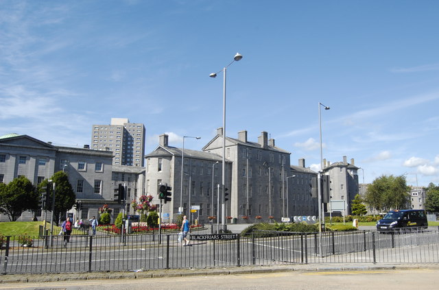
Image: © Bill Harrison Taken: 3 Aug 2012
From front to back: 1960s road improvements and pedestrian crossing; some of the A-listed buildings of Aberdeen Royal Infirmary (see: http://www.britishlistedbuildings.co.uk/sc-19995-aberdeen-royal-infirmary-woolmanhill- ); a 1960s tower block.
Images are licensed for reuse under creativecommons.org/licenses/by-sa/2.0
Image Location
Latitude
57.149607
Longitude
-2.106254