Ancient trackway heading NNE in East Dorset
Introduction
The photograph on this page of Ancient trackway heading NNE in East Dorset by Martin Rowley as part of the Geograph project.
The Geograph project started in 2005 with the aim of publishing, organising and preserving representative images for every square kilometre of Great Britain, Ireland and the Isle of Man.

There are currently over 7.5m images from over 14,400 individuals and you can help contribute to the project by visiting https://www.geograph.org.uk
Ancient trackway heading NNE in East Dorset
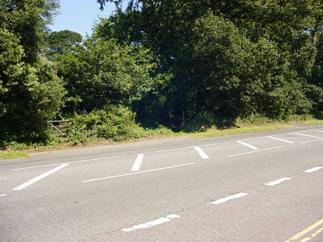
Image: © Martin Rowley Taken: 24 Jul 2012
Lost in the encroaching greenery is the continuation of a once ancient trackway that stretched from Dudsbury hill fort on the River Stour, towards St. Leonard's Common (West Moors) and then on north to Wiltshire and NE Dorset. The track is traceable on old maps of the 19th century. The road in the foreground is the A347 (Ringwood Road) which was very busy - it was quite a feat to capture this with nothing on it!
Images are licensed for reuse under creativecommons.org/licenses/by-sa/2.0
Image Location
Latitude
50.808132
Longitude
-1.880449