Benchmark on #271 Bradford Road
Introduction
The photograph on this page of Benchmark on #271 Bradford Road by Roger Templeman as part of the Geograph project.
The Geograph project started in 2005 with the aim of publishing, organising and preserving representative images for every square kilometre of Great Britain, Ireland and the Isle of Man.

There are currently over 7.5m images from over 14,400 individuals and you can help contribute to the project by visiting https://www.geograph.org.uk
Benchmark on #271 Bradford Road
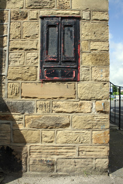
Image: © Roger Templeman Taken: 29 Jun 2012
The Ordnance Survey cut mark benchmark below the stamp dispensers of the former post office is described on the Bench Mark Database at http://www.bench-marks.org.uk/bm43879
Images are licensed for reuse under creativecommons.org/licenses/by-sa/2.0
Image Location
Latitude
53.874963
Longitude
-1.891367