Rhondda Fawr downstream from Gelli Crossing, Gelli
Introduction
The photograph on this page of Rhondda Fawr downstream from Gelli Crossing, Gelli by Jaggery as part of the Geograph project.
The Geograph project started in 2005 with the aim of publishing, organising and preserving representative images for every square kilometre of Great Britain, Ireland and the Isle of Man.

There are currently over 7.5m images from over 14,400 individuals and you can help contribute to the project by visiting https://www.geograph.org.uk
Rhondda Fawr downstream from Gelli Crossing, Gelli
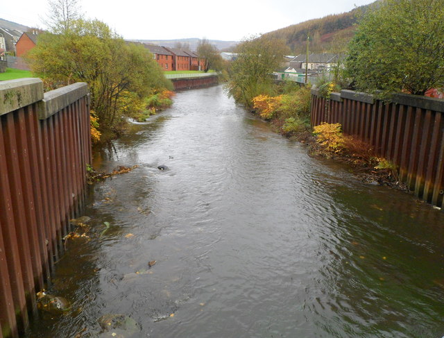
Image: © Jaggery Taken: 3 Nov 2011
The river flows away from the bridge carrying a street named Gelli Crossing. In the distance are houses on the Nebo Estate.
Images are licensed for reuse under creativecommons.org/licenses/by-sa/2.0
Image Location
Latitude
51.645619
Longitude
-3.473686