St Martin's Terrace
Introduction
The photograph on this page of St Martin's Terrace by Neil Owen as part of the Geograph project.
The Geograph project started in 2005 with the aim of publishing, organising and preserving representative images for every square kilometre of Great Britain, Ireland and the Isle of Man.

There are currently over 7.5m images from over 14,400 individuals and you can help contribute to the project by visiting https://www.geograph.org.uk
St Martin's Terrace
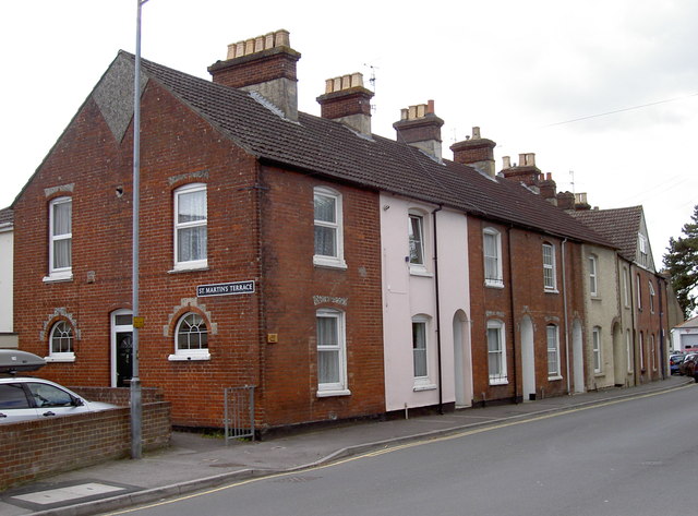
Image: © Neil Owen Taken: 16 May 2012
The terrace is in fact a simple alleyway, impassible to motor traffic, but leads towards St Martin's Church Street and the church itself. A benchmark exists on the corner of the housing - see Image] for a closer look.
Images are licensed for reuse under creativecommons.org/licenses/by-sa/2.0
Image Location
Latitude
51.06635
Longitude
-1.787024