Rudry road junction
Introduction
The photograph on this page of Rudry road junction by Jaggery as part of the Geograph project.
The Geograph project started in 2005 with the aim of publishing, organising and preserving representative images for every square kilometre of Great Britain, Ireland and the Isle of Man.

There are currently over 7.5m images from over 14,400 individuals and you can help contribute to the project by visiting https://www.geograph.org.uk
Rudry road junction
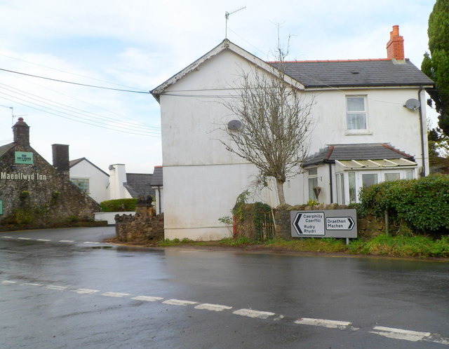
Image: © Jaggery Taken: 18 Nov 2011
The road north from Lisvane and St Mellons reaches a junction in the east of Rudry. Turn left for Caerphilly via Rudry, or right for Draethen and Machen. The Maenllwyd Inn is on the left. http://www.geograph.org.uk/photo/3062416
Images are licensed for reuse under creativecommons.org/licenses/by-sa/2.0
Image Location
Latitude
51.572584
Longitude
-3.154296