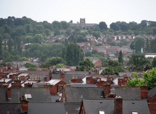
Wet Bridgford and Wilford Hill
Introduction
The photograph on this page of Wet Bridgford and Wilford Hill by John Sutton as part of the Geograph project.
The Geograph project started in 2005 with the aim of publishing, organising and preserving representative images for every square kilometre of Great Britain, Ireland and the Isle of Man.
There are currently over 7.5m images from over 14,400 individuals and you can help contribute to the project by visiting https://www.geograph.org.uk

Image: © John Sutton Taken: 29 Jul 2012
A very heavy shower had interrupted play on the third afternoon of the Nottinghamshire-Sussex match at Trent Bridge. This long zoom view of wet West Bridgford from the Radcliffe Road End shows in the foreground houses in the roads off Loughborough Road, and beyond them newer houses on the northern slope of Wilford Hill, which is topped by the chapel at the Southern Cemetery, about two miles away. Much of Bridgford was built in the late Victorian and Edwardian periods; expansion southwards to Edwalton and Wilford Hill came between and after the wars.

