Barriers on Everton Sluice Lane
Introduction
The photograph on this page of Barriers on Everton Sluice Lane by Jonathan Thacker as part of the Geograph project.
The Geograph project started in 2005 with the aim of publishing, organising and preserving representative images for every square kilometre of Great Britain, Ireland and the Isle of Man.

There are currently over 7.5m images from over 14,400 individuals and you can help contribute to the project by visiting https://www.geograph.org.uk
Barriers on Everton Sluice Lane
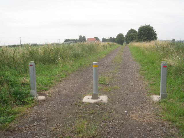
Image: © Jonathan Thacker Taken: 31 Jul 2012
This section of Everton Sluice Lane is a bridleway but nearer Everton it becomes a public road.
Images are licensed for reuse under creativecommons.org/licenses/by-sa/2.0
Image Location
Latitude
53.427582
Longitude
-0.963788