Farm buildings on Black Hat Lane seen from Westwood Lane
Introduction
The photograph on this page of Farm buildings on Black Hat Lane seen from Westwood Lane by David Smith as part of the Geograph project.
The Geograph project started in 2005 with the aim of publishing, organising and preserving representative images for every square kilometre of Great Britain, Ireland and the Isle of Man.

There are currently over 7.5m images from over 14,400 individuals and you can help contribute to the project by visiting https://www.geograph.org.uk
Farm buildings on Black Hat Lane seen from Westwood Lane
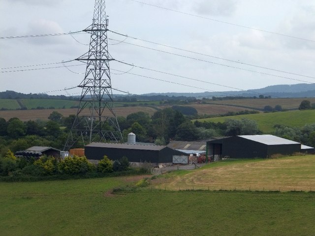
Image: © David Smith Taken: 31 Jul 2012
The pylon towers over the barns
Images are licensed for reuse under creativecommons.org/licenses/by-sa/2.0
Image Location
Latitude
50.712172
Longitude
-3.577923