Path Down To St Ives
Introduction
The photograph on this page of Path Down To St Ives by Ian Knight as part of the Geograph project.
The Geograph project started in 2005 with the aim of publishing, organising and preserving representative images for every square kilometre of Great Britain, Ireland and the Isle of Man.

There are currently over 7.5m images from over 14,400 individuals and you can help contribute to the project by visiting https://www.geograph.org.uk
Path Down To St Ives
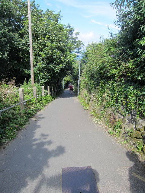
Image: © Ian Knight Taken: 19 Jul 2012
From top car park
Images are licensed for reuse under creativecommons.org/licenses/by-sa/2.0
Image Location
Latitude
50.209656
Longitude
-5.485345