Track on the east shore of Rudyard Lake
Introduction
The photograph on this page of Track on the east shore of Rudyard Lake by Graham Hogg as part of the Geograph project.
The Geograph project started in 2005 with the aim of publishing, organising and preserving representative images for every square kilometre of Great Britain, Ireland and the Isle of Man.

There are currently over 7.5m images from over 14,400 individuals and you can help contribute to the project by visiting https://www.geograph.org.uk
Track on the east shore of Rudyard Lake
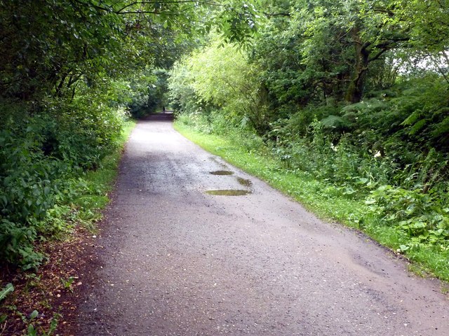
Image: © Graham Hogg Taken: 30 Jul 2012
The track is on the Staffordshire Moorland Walks which here is on the former track bed of the North Staffordshire Railway
Images are licensed for reuse under creativecommons.org/licenses/by-sa/2.0
Image Location
Latitude
53.143773
Longitude
-2.088614