High Tide at Sannox
Introduction
The photograph on this page of High Tide at Sannox by Andy Farrington as part of the Geograph project.
The Geograph project started in 2005 with the aim of publishing, organising and preserving representative images for every square kilometre of Great Britain, Ireland and the Isle of Man.

There are currently over 7.5m images from over 14,400 individuals and you can help contribute to the project by visiting https://www.geograph.org.uk
High Tide at Sannox
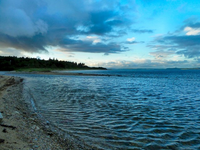
Image: © Andy Farrington Taken: 28 Jul 2012
As the sea gets to the hide tide mark Sannox Burn becomes more difficult to find and the stepping stones further up river become submerged. http://www.geograph.org.uk/photo/3060357
Images are licensed for reuse under creativecommons.org/licenses/by-sa/2.0
Image Location
Latitude
55.661427
Longitude
-5.153914