View from Barming Bridge
Introduction
The photograph on this page of View from Barming Bridge by Marathon as part of the Geograph project.
The Geograph project started in 2005 with the aim of publishing, organising and preserving representative images for every square kilometre of Great Britain, Ireland and the Isle of Man.

There are currently over 7.5m images from over 14,400 individuals and you can help contribute to the project by visiting https://www.geograph.org.uk
View from Barming Bridge
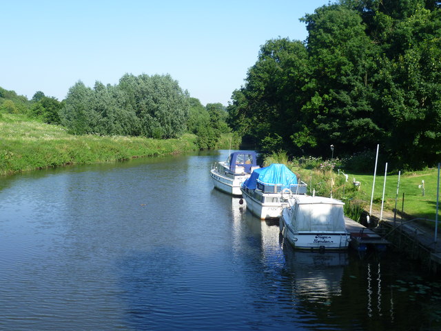
Image: © Marathon Taken: 26 Jul 2012
This view of the River Medway looks downriver from Barming Bridge. The Medway Valley Walk follows the left hand bank. Up until 1740 the river had been fordable at Barming allowing farmers to cross the river to land they owned on either side. In 1740 the River Medway was made navigable and as it had to be deepened it became difficult to cross without a bridge. One was then built. The bridge has been destroyed on two occasions. The first was in 1795 due to flooding, and the second in 1914 when a 10 ton traction engine, which had tried to cross the old wooden bridge, ended up upside down in the water. The old wooden bridge was declared unsafe and replaced by a concrete and steel structure in 1996.
Images are licensed for reuse under creativecommons.org/licenses/by-sa/2.0
Image Location
Latitude
51.258002
Longitude
0.470058